 New Launch Sites
 New Launch Sites
We are in the process of trying to find a new launch site for our monthly launches in the Livermore area because new housing is encroaching on our current launch site at Robertson Park. We are currently limiting flights to 1500 feet and will probably have to limit all flights at our current location to low power only.
The following list of locations are only potential locations for new launch zones. We have not contacted owners or gotten permission to use any of these areas unless it is indicated in the section.
Anyone with a contact in any of these areas or anyone with another location that we could possibly use, please send a note to the president of lunar or to the webmaster. What we need is a fireproof area for launch operations about half the size of a football field (minimum) with a surrounding landing area of about a square mile or more with no or a few houses (containing sympathetic neighbors). A large irrigated pasture would be great. We will make any improvements necessary to insure fire safety and to make sure we do not damage the property while we use it.
Note that we do not have to launch at the
same spot every month but could move between several fields depending on which is
available.
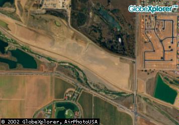
This location is north-west of the intersection of Isabell and Vineyard Ave.
We thought we had it made with this one as it is a mile long flat gravel area with
no houses within about a half mile and no plans to put houses near there.
Unfortunately, when we contacted the owner, he said that the city of Pleasanton
is going to rebuild Vineyard Ave. and run it right down the middle of this area.
However, if you have been out there lately, they ran the road along its original
course and not down the gravel pits. This is probably our best shot. It is not
being used, it is fireproof, and no houses are going to be built any closer than they already are.
Here is a link to an aerial photo of the
Chain of Lakes Gravel Pit.
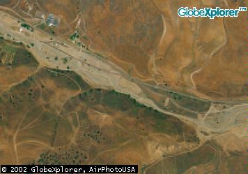
If you drive out Corral hollow road, there is a dirt bike area about
half
way to Tracy. It is down the center of the canyon in the creek bed so it
is
fireproof. There are bathrooms and camping sites there. The only drawback
is
a power line running down the center of the canyon. It still might be
worth looking at again.
Here is a link to an aerial photo of
Corral Hollow
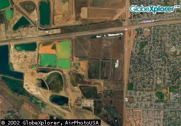
To the north of the Chain of Lakes Gravel Pit
are more gravel pits, some of them still being worked.
Most of the working gravel pits are shut down on
Saturday and Sunday so maybe we could launch in the middle of the gravel pit.
A lot of these are full of water, which is a problem.
Here is a link to an aerial photo of the
Working Gravel Pits
Just over the Altamont near Byron there are a lot of irrigated fields.
If anyone in the Byron, Tracy area knows anybody in that area, we might want
to see if someone would be willing to let us fly there. This is only about a
15 or 20 minute drive from Livermore.
Here is a link to an aerial photo of the
Byron Area
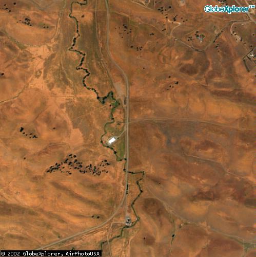
Out north on the new Vasco road is the new Los Vaqueros reservoir. The
area around the new lake is parkland. Down in front of the dam is a big,
open canyon. There might be a place there we could launch. There is a lot
of open space with no houses. In the winter, there are few people in the area
as well. Fire danger is a bit high and fire prevention would have to be worked out.
Here is a link to an aerial photo of the area in front of the dam near the
ranger station at
Los Vaqueros Reservoir.
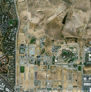
Anyone know if Camp Parks is usable?
Here is a link to an aerial photo of
Camp Parks
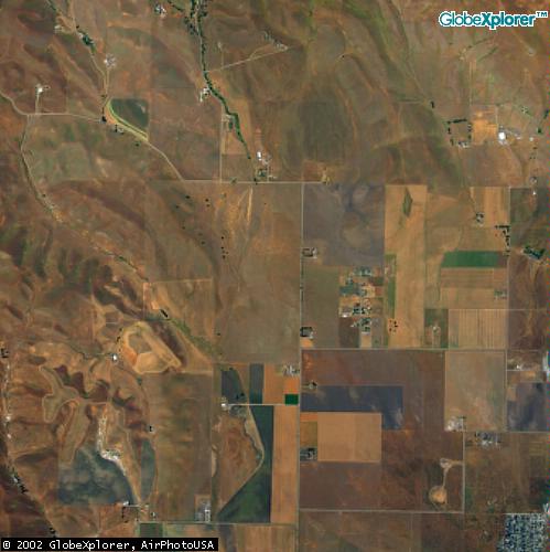
West of North Livermore Ave. and south of the turn off to Morgan Territory
Road is a ranch owned by the Crosby family. I understand that they are planning
to build a golf course there someday and it has been on the LARPD maps as
a potential trail. Unfortunately, it is on the glide path to the airport for plains
coming from the north. We might still want to look at it. It would have a significant fire danger
that would have to be considered.
Here is a link to an aerial photo of the
Crosby Land
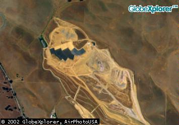
The garbage dump on north Vasco road has some huge open spaces. This is
actually not a bad place to consider. As long as you stay away from the
currently active pit, the smell is not bad and there are no houses and
little grass.
Here is a link to an aerial photo of the
Vasco Dump
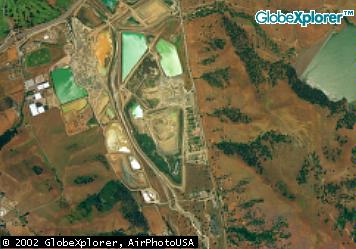
Along Greenvill Road is another dump.
Here is a link to an aerial photo of the
Greenville Dump
On the way to Sunol Park, there is a large open area that is used as a
nursery. Most of the plants are in pots and boxes with open areas between
them. There are no houses in the area and only one road. If we bust a
plant,
we buy it. As they are all for sale anyway, that shouldn't bother the
owners.
Here is a link to an aerial photo of the
Sunol Nursery
This BMX track is just across the street from the decommissioned Vallecitos Nuclear
facility along Vallecitos Road. There appear to be only two close neighbors
according to the aerial photo. The two houses are each about 600 feet from the center of the
BMX track and the Vallecitos facility is about 1500 feet away. There are two power lines
surrounding the property; one down the east side and one across the south side. The BMX
track already has power, parking, and bathrooms (a porta potty). It is owned by the SFO water district
and we have already been turned down.
Here is a link to an aerial photo of the
BMX Track
All content is the responsibility of LUNAR.
If you have comments or suggestions regarding these web pages,
please contact the Copyright © 1992 - 2026 LUNAR Chain of Lakes Gravel Pit
Corral Hollow Road
Working Gravel Pits
Fields Near Byron

Los Vaqueros Reservoir
Camp Parks
Crosby Land
Vasco Dump
Greenville Dump

Sunol Nursery
BMX Track

